
Orbital rail lines in Melbourne: where would they go?
Today's piece is inspired somewhat by Grant Wyeth's (@grantwyeth) guest post over on Alan Davies' The Urbanist blog and it centers exclusively on where would an orbital rail line (or set of rail lines) in Melbourne go under the right circumstances.
Is strong projected population growth enough to provide us with the 'right' circumstances in future? What are the 'right' circumstances? How could our 'right' circumstances be different to any other city which has been or is heading down the same path as us?
Back in the sixties when the age of the automobile was beginning to dominate the suburban landscape, the transport boffins of the time appeared to have attempted to answer the same fundamental mobility question. They just answered it with limited-access roads.
If one only focuses on freeway/tollways for a moment, there's a clear missing link in our orbital road network between the end of the Metropolitan Ring Road and the Eastern Freeway/EastLink. However it appears that even in the 60s no-one really thought much of linking the two roads directly either.


For the cartographically-inclined, you can't go past the sheer beauty of the map above. Every time I see it float to the surface somewhere on the Internet I'm in awe. According to the Wikipedia page, the 1969 Melbourne Transport plan called for 510km of freeways creating an enormous mesh of limited access roads all over the metro area.
Boroondara and Stonnington encircled by freeways? Priceless! Two intersecting freeways in St Kilda? Absolutely! Having the ability to zig-zag across the city from Keilor to Dandenong on nine (or more) different freeways? It's the future!
If you hadn't noticed yet, a fair few of those roads have been built, are in the process of being built or are likely to be built to varying degrees. And this aspect serves as a reminder that no matter how large and lofty ideas may appear to be, the creativeness of people regardless of the era (and no matter how batshit crazy you might think it is) can, and in some cases will, come to fruition.
Beyond peak car
Successive decades of suburban development have seen employment clusters grow over time in disparate areas and the vast majority of Melburnians work somewhere other than the centre of the city. The tertiary education sector has expanded in to the suburbs and the primary retail centres serving the metropolitan area are isolated from existing high-capacity public transport modes.
The band-aid solution for many decades has been an increase in bus services. While buses serve a great purpose of being able to negotiate suburbs in a more intimate fashion than trains, what they lack is a direct and efficient way of connecting major hubs.
There is a psychology of purpose that comes with train travel. It is far more direct and efficient than a bus, and therefore far more enticing to people. Transportation networks are most effective when they increase the speed at which people can access opportunity-laden areas. Buses do not provide this.
Grant Wyeth, The Urbanist
I agree with Grant up to a point, and that is with the exception of smart bus routes which seem to have stopped being rolled out, politicians appear to be petrified at the thought of clawing back existing roadspace (or expanding within existing corridors) for the exclusive use of fast and frequent bus routes.
The smart bus routes around Melbourne are the logical starting point in answering the question of where orbital rail lines might go. Warrigal Road, Springvale Road, Stud Road, Dandenong-Frankston Road, Bell Street, Manningham Road: those roads all serve major retail, education and employment zones throughout the east and north of the city.
The west of the city doesn't have the grid road network to the same degree as the north and east, but it does have substantial land allocated to rail use already.
In an attempt to connect as many retail, education, employment zones and areas currently without a rail service at present, I came up with this.
- Black line(s): the orbitals, in four parts passing the following major nodes:
- R = retail centres, E = employment or education areas in the vicinity, NS = new rail service area, I = interchange.
- Sandringham-Doncaster (28km), would need to be almost completely underground.
- Areas passed: Sandringham (I), Southland (R, I), Kingston (E, NS), Oakleigh South (NS), Oakleigh (E, R, I), Chadstone (R, E, NS), Holmesglen Institute (E, I), Deakin University (E, NS), Box Hill (R, E, I), Doncaster (R, E, NS)
- Doncaster-Airport (30km), would have an underground/elevated split of about 60/40 respectively.
- Areas passed: Doncaster (R, E, NS), Bulleen (NS), Heidelberg (E, I), Northland (R, E, NS), Thornbury (E, I) Coburg (R, E, I), Pascoe Vale (I), Essendon Fields (E, NS), Airport West (R, E, NS), Melbourne Airport business park (E, NS), Airport Terminals (E, NS)
- Airport-Newport (19km), entirely elevated (to Airport West, shared with Doncaster-Airport) and at grade on new track in existing corridors:
- Areas passed: Airport Terminals (E, NS), Melbourne Airport business park (E, NS), Airport West (R, E, NS), Keilor East (NS), Avondale Heights (NS), Sunshine North (NS), Sunshine (R, E, I), Brooklyn (E, NS), South Kingsville (NS), Newport (I).
- Frankston-Ringwood (42km), big opportunity to have the line run entirely elevated above current Frankston line and then in Dandenong-Frankston Road median, 2km tunnel from Dandenong station from Dandenong North thereafter elevated in Stud Road's median to a short tunnel at Wantirna then elevated above the Belgrave line from Heathmont into Ringwood.
- Red lines: current rail projects, the Regional Rail Link (which PTV have previously planned to have metropolitan services running in the corridor in a decade or two, creating a smaller western orbital) and the Melbourne Metro Rail project.
- Green line: extension of the existing rail network from Ashburton via Chadstone, Oakleigh and out to Rowville, refer to this earlier piece on the re-purposing the Alamein line.
- Purple lines: other rail ideas that I've previously written about, in particular Fishermans Bend.
Red and Green lines would be the last of the traditional rail lines we all know and understand today. Melbourne Metro Rail Project is going to cost near $1billion per kilometre, that's completely unsustainable and unsuitable for completing an orbital rail network.
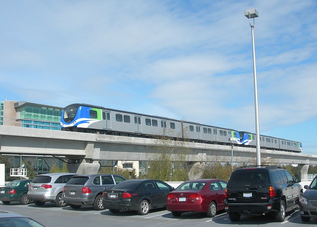
Black and Purple lines: completely separate rail technology and system with a focus on proper metro service, smaller vehicles, more frequent services, driverless; a system which will consume a lower amount of capital and operational expenditure compared to our current heavy rail setup. Refer to this 2013 article on Vancouver's Skytrain network and technology.
Over to you.
Lead image credit: Wikipedia.

