
Walking, bikes and public transport the big focus in Fishermans Bend's integrated transport plan

The draft Fishermans Bend framework that was released on Saturday included an integrated transport plan that seeks to address targets such as 80% of all trips to be made by sustainable transport modes that were set out in the vision and now carried through to the draft framework.
The raw numbers for the costings in the integrated transport plan are not provided however we do see a range of demand and route options analysis.
The tone for the plan is set in the opening pages.
"With over 260,000 daily trips expected to be generated by residential development alone, a mode shift to walking, cycling and public transport will have a significant impact on transport and amenity outcomes for the precinct.
Whilst the early provision of high quality pedestrian, cycling and public transport networks presents a signficant challendge, the transformation of the precinct provides an opportunity to create an enduring legacy for Melbourne similar to the Hoddle Grid.
Starting with the bare bones, the new street network proposed for the entire urban renewal area would see several existing large parcels of land sub-divided, especially in the Capital City Zoned (non-Employment) precincts.
Sandridge, Wirraway, and Lorimer would see the largest amount of new streets added and two major boulevards with trams would be created both north and south of the West Gate Freeway.


The first of the widened streets / new boulevards with tram routes would be along Turner Street, through the now government-owned GMH site and Wharf Road.
Turner Street has significant scope for widening/expansion thanks to an electricity distribution easement.
The second of the new boulevards is posed to be the existing Fennell and Plummer Streets. Fennell Street would be heart of the Sandridge precinct with all three modes of public transport converging on the street between Ingles and Bertie Street.
The streetview below is the approximate location of the Sandridge station, new civic spine and tram route as shown in the plan's maps.
A significant amount of new bridges have been foreshadowed, primarily for pedestrian and cycling links but also across the river in Docklands.
There appears to be a particular emphasis on creating more links from the Employment precinct into Wirraway and a major bridge appears on the maps from the draft framework on the eastern side of the West Gate Freeway / Citylink interchange connecting Wirraway/Sandridge with Lorimer.

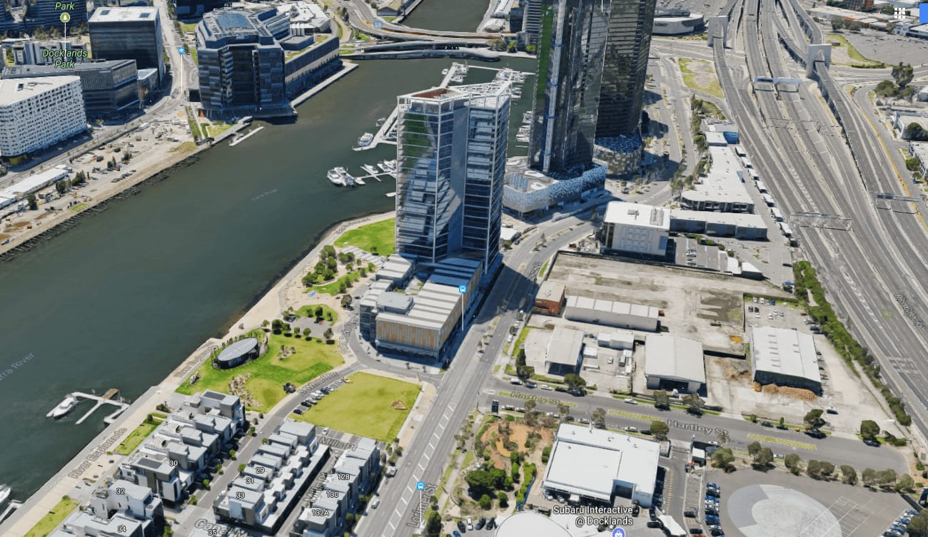
The bridge across the river - an extension of Collins Street in Docklands - received particular emphasis in the integrated plan with several pages in part B of the document dedicated to explaining how the transport experts arrived at the preferred alignment.
The preferred option would see a 6m high tram, pedestrian and cycling bridge constructed to rise in between the existing ANZ HQ and 839 Collins Street in Victoria Harbour and then sweep around to align with Hartley street in Yarra's Edge.
The integrated transport plan's recommendation on the light rail states initial priority is the northern boulevard/tram route, however, City of Port Phillip mayor Bernadene Voss said the council's submission to the new consultation round will seek a commitment to deliver the entire tram network within four years to ensure high-quality development and jobs are delivered in Sandridge and Wirraway
We particularly welcome the sustainability objectives, focus on jobs and a knowledge economy, an affordable housing target and a land use planning approach to control density.
However question marks remain about several issues of crucial concern to our community. There is no definitive timeline, for example, for the delivery of the much-needed tram network
City of Port Phillip Mayor, Cr Bernadette Voss

One other major aspect of the integrated transport plan deals with the alignment and location of stations for a second cross-town underground rail line that first appeared in the 2012 heavy rail network development plan.
Multiple routes were assessed (refer to page 34 in the integrated transport plan) however at the end of the assessment process two options for further assessment were presented.
The first option will be familiar to some and it involves a direct route under Plummer and Fennel Streets with a station at Sandridge and one in Wirraway. The second option maintains the station in Sandridge however it takes a more serpentine alignment westward with a station located in the heart of the government-owned GMH site.
Also of note is a new frequent bus route linking Lorimer, Sandridge (including the proposed station) and Domain station via South Melbourne on Metro 1 - the line currently under construction.
The plan document also notes that many of the existing bus routes already serving Fishermans Bend are infrequent and alludes to upgrades to these routes in the short term, possibly within the next budget cycle.
The main surprise in the document was the inclusion of a new freight route that would see a bridge built adjacent to the Bolte Bridge on its western side. The freight route would seek to use much of the 220kV transmission easement and would link the road and rail networks behind Appleton Dock with Webb Dock (refer to page 18 in the integrated transport plan).

Water transport gets a mention as well with an assessment finding that the only viable routes would be from 3 points - Footscray just south of the Shepherd Bridge, Victoria Harbour & Newquay in Docklands and Flinders Street/Southbank.
Routes reaching further upstream along the Maribyrnong River as far as the defense site near Highpoint and along the Yarra River as far as Dight falls were looked at but were not found feasible.
The integrated transport plan represents one of the first public documents to be released from Transport for Victoria, the new agency set up and tasked with strategic transport planning job for Victoria.
Click here to read the integrated transport plan.
Read more: Fishermans Bend draft framework released, uplift controls to drive affordable housing.
The Planning Minister in his own words: We have to get urban renewal projects right.
Lead image credit: Sandridge & FAR build out - Urban Design Strategy by Hodyl & Co.